Deskripsi
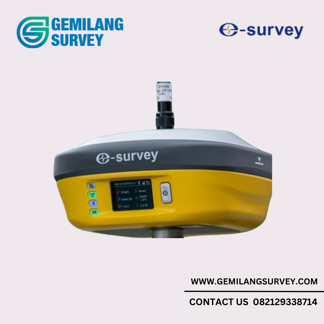
GNSS RTK E-Survey E800
GNSS RTK E800 GPS Geodetic GNSS Receiver Smart Antenna
1. Multi-constellation and Multi-frequency
With 336/800 channels of GNSS tracking, E800 provides stable and reliable accuracy. All GNSS signals are coming with standard including GPS, BDS, GLONASS, GALILEO, QZSS, IRNSS and SBAS.
2. Batteries for Long Time Operation
E800 is equipped with 13600 mAh Li-ion battery. There is no worry for long time field operation up to 15 hours. The USB type-c quick charge promise a full charge within 5 hours.
3. MEMS Dynamic Tilt Survey
eSurvey’s innovation tilt survey solution provides a surprising experience. The sensor is adapted to various of working environments and can be ready within 10 sec. Maximum 60° incline angle ensures a tilt to go survey without stopping your work.
4. L-band Atlas
Atlas is a service to provide global precision correction service over L-band satellites. With ATLAS subscription, E800 is able to achieve centimeter accuracy without any base station.
5. aRTK
Powered by Atlas, the innovative aRTK technology operates on any Atlas-capable device by enabling it to maintain RTK-level accuracy, availability, and reliability when RTK corrections fail without additional cost.
6. 5-watt Internal Radio
The 5-watt internal radio modem extremely extend the working range up to 15Km. User can adjust the radio power between 2w and 5w depending on the demand.
7. Colorful Touch Screen
The 1.45” colorful touch screen is viewable in sunlight. The position status is under control with a glimpse. Working mode is settle down by simply sliding the screen.
8. Web UI
It is able to view position status, set up working mode, download data and update firmware from Web user interface with any phone, tablet or PC.
9. Intelligent Voice
E800 will broadcast voice automatically to remind user the solution status is changed. It is also able to manually broadcast current working mode and solution status by short pressing power button.
10.Rugged Design
E800 main body is using magnesium materials to provide strong shock and vibration resistant characteristics. IP67 certification ensures operation in various of tough environments.
Model E800H E800T GNSS Satellites Tracking GPS: L1CA/L1P/L1C/L2P/L2C/L5 BDS: B1I/B2I/B3I/B1C/B2a/B2b/ACEBOC GLONASS: G1/G2/G3, P1/P2 GALILEO: E1/E5a/E5b/E6/ALTBOC QZSS: L1CA/L1C/L2C/L5/LEX IRNSS: L5 SBAS: L1/L5 L-Band: Atlas H10/H30/Basic GPS: L1CA/L2E/L2C/L5 BDS: B1/B2/B3 GLONASS: L1CA/L2CA/L3 CDMA GALILEO: E1/E5a/E5b/E6/ALTBOC QZSS: L1CA/L1 SAIF/L1C/L2C/LEX IRNSS: L5 SBAS: L1/L5 L-Band: RTX Channels 800 336 Signal Reacquisition < 1 sec Cold Start < 60 sec Warm Start < 30 sec Hot Start < 10 sec RTK Signal Initialization < 8 sec Initialization Reliability > 99.9% Update Rate 10 Hz standard, up to 50 Hz 50 Hz standard, up to 50 Hz Operation System Linux Internal Memory 32 GB Performance High Precision Static H: 2mm + 0.1 ppm V: 3mm + 0.4 ppm Static/Fast Static H: 2.5mm + 0.1 ppm V: 3.5mm + 0.4 ppm RTK H: 8mm + 1.0 ppm V: 15mm + 1 ppm Code Differential H: 0.25 m V: 0.45 m SBAS H: 0.3 m V: 0.6 m L-Band Atlas H10: 4 cm RMS Atlas H30: 15 cm RMS Atlas Basic: 30 cm RMS Tilt compensation Free-Calibration, Magnetic resistance RTK tilt compensated Additional horizontal uncertainly typically less than 8mm+0.4mm/° angle up to 60° Power Supply Battery Rechargeable and built-in Lithium-ion battery, 7.2 V ~ 13.6 Ah Voltage 9~28 V DC with over-voltage protection Working Time Up to 15 hours Charging Time Typically 5 hours Internal Radio Type TX and RX Frequency Range 410 ~ 470 MHz Channel Spacing 12.5 KHz / 25 KHz Emitting Power 5 W Operation Range 8 ~ 10 Km typically 15Km with optimal conditions Protocol Satel, PCC, TrimTalk, TrimMark III, South, HiTarget Internet Modem Support Band Global GSM /WCDMA/LTE Communication Bluetooth BT 5.0, BLE WIFI 802.11 ac/n(HT20)/a/b/g SIM Card Micro SIM card 5-pin Port Connect to external radio and power, NMEA output Type-C Port Charge and internal storage access TNC Port Connect to internal radio antenna Web UI View status, update firmware, set up working mode, download data Intelligent Voice Broadcast working status NMEA Output GGA, ZDA, GSA, GSV, GST, VTG, RMC, GLL, Binary Correction Data CMR, CMR+, RTCM2, RTCM3, RTCM32 MEMS Fast initialization, dynamic tilt survey up to 60° Physical Dimension Φ154 mm x H76 mm Weight 1.5 kg Screen 1.45’’ colorful touchable screen Operating Temperature -40?~ +65? Storage Temperature -45?~ +80? Water/Dust Proof IP67 Shock Survive a 2 m drop on concrete floor Vibration Vibration resistant Humidity Up to 100% Indicators Satellites, datalink, battery, Bluetooth Button Power button, short press to voice broadcast status Certificate CE, FCC, NGS Calibration


Ulasan
Belum ada ulasan.